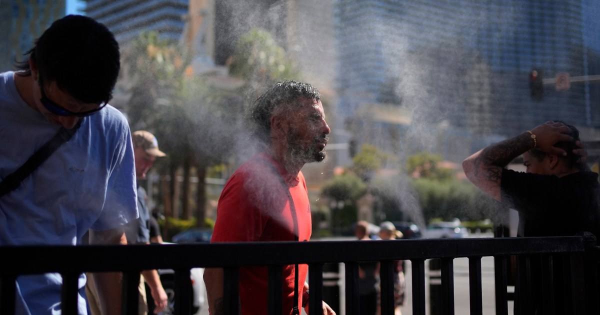
About 42 million people remain under heat alerts Friday as “dangerous and record-breaking” heat will persist in the West through Saturday, according to the National Weather Service.
Blistering temperatures are forecast to remain above 100 degrees Friday, leading to more record-setting temperatures for cities like Las Vegas, Salt Lake City, Boise, Idaho, and Spokane, Washington.
“This long-duration heat wave remains extremely dangerous and deadly if not taken seriously,” the weather service said in an update Friday morning. “Dozens of daily record high temperatures are forecast over much of the West through Saturday. Hazardous heat will expand in coverage over portions of the central and eastern U.S. late this weekend.”
The National Weather Service field office in Los Angeles warned that the “long duration heat wave” will continue to affect some areas through the weekend. High temperatures expected Friday include 116 in Las Vegas, 103 in Salt Lake City and 101 in Denver.
The upper-level ridge supplying this heat is expected to move eastward by Sunday, bringing relief to the region, according to a Friday evening update from the weather service. Unfortunately, this will mean the heat will expand over central and eastern parts of the U.S. this weekend as well.
“The threat from this heat will only expand and intensify across the central/eastern U.S. heading into early next week, and it will be important to monitor the latest forecast and watches/warnings for your area as confidence is increasing in extremely dangerous, potentially deadly heat for many of the urban areas across the Southeast and along the East Coast,” the weather service said.
A bit of relief may be on the way for northwest Arizona and southern Nevada, where storms are forecast Friday, according to the weather service field office in Las Vegas.
Sizzling temperatures will also persist in southeast Texas, where Beryl made landfall earlier this week as a Category 1 hurricane.
Heat index values in the region will once again reach 100 to 105 degrees. The heat index is what it feels like to the human body when the temperature is combined with humidity.
A little under 1 million utility customers remain without power in southeast Texas in Beryl’s aftermath, according to Poweroutage.us, which could make the heat more dangerous, the weather service warned.
About 42 million people are under heat alerts Friday across the West, Rocky Mountains and southeast Texas.
This weekend, an active storm system is going to produce several rounds of severe storms for the Northern Plains, Upper Midwest and Great Lakes into next week.
About 7 million people are at risk for severe storms across North Dakota, Minnesota and Wisconsin Saturday. On Sunday parts of North Dakota, and northern Minnesota will once again be at risk for severe storms, with the risk extending down to Chicago.
On Monday, 23 million people are already at risk for all hazards including in Minneapolis, Green Bay, Milwaukee, Madison and Chicago.
Around 18 million people are under flood watches in an area stretching from South Carolina to Massachusetts, including Philadelphia and New York City. The Weather Prediction Center has issued a slight risk of excessive rainfall, level 2 out of 5, from the Carolinas’ coast through the coastal Mid-Atlantic due to thunderstorms that will impact the region over the weekend.
On Friday, slow-moving tropical downpours will drench the Mid-Atlantic and Northeast. Rainfall rates of 1 to 2 inches per hour could prompt flash flooding, especially in urban areas, small streams and roads.
“A similar scenario will be in place Saturday, though the boundary is expected to shift slightly eastward, limiting the threat for locally heavy rainfall and flash flooding closer to the coast,” the weather service said.


